Welcome to the Annapolis Heritage Society
The Annapolis Heritage Society preserves our heritage by making it accessible to everyone in ways that will inspire curiosity about the people, places, and events that have shaped us.
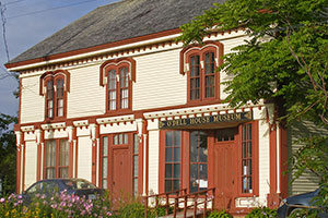
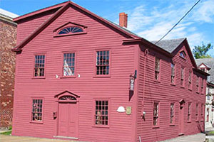
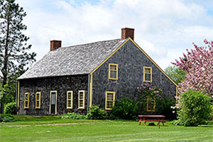
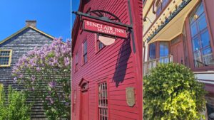
The Annapolis Heritage Society operates three community museums: O’Dell House Museum, Sinclair Inn Museum, and North Hills Museum.
Support community heritage by becoming a member, volunteering, making a donation, and visiting our museums!
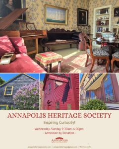
Acadian Walking Tour Map
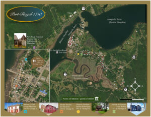
Port Royal 1710
Take a tour through historic Port Royal with our new heritage walking map. This map superimposes the Delabat 1710 map of Port Royal over a modern map of Annapolis Royal, showing the homes of Acadian residents at the time.
This map was made possible through funding from the Government of Nova Scotia's Acadian and Francophone Community Projects Program. Special thanks to those who had a hand in creating this valuable community resource. Printed brochures are now available at Annapolis Heritage Society sites.
English
Français


Donate